Interior Dang
Everything south and east of Ahwa is what people mean by interior Dang: a dissected plateau of teak and bamboo where the roads follow ridgelines because the valleys are too steep to build in. It holds more of this dataset than anywhere else, and almost none of it appears in a tourism brochure.
The arithmetic of the place is unforgiving. Ahwa to Chikhalda Falls is 12 km as the crow flies and 54 km by road, because you descend to a valley road and come back up the far side. Fuel up in Ahwa; there are no pumps on the interior stretch. Distances here punish optimism more than anywhere else in either district.
It is also where the payoff is. Girmal is the tallest fall in Gujarat, Don sits at the highest village, and a dozen falls in these pages (Chikhalda, Ritu, Baaj, Chirai, Advait) are documented here and almost nowhere else on the internet.
- Places
- 36
- Free to enter
- 34 of 36
- Monsoon-fed
- 22 of 36
- All of it takes
- ~70 hr
When it peaks
How many of these 36 places are at their best in each month, counted from every record’s own season window.
Every place in Interior Dang
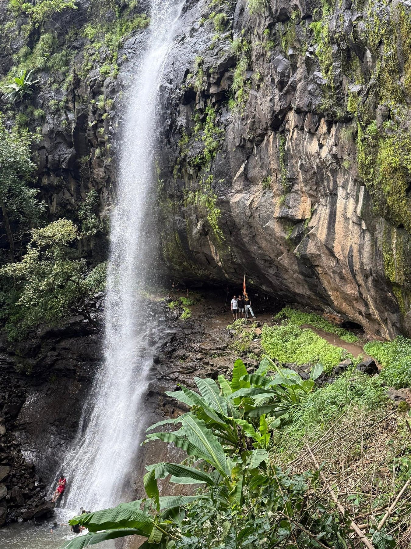
Anjan Kund (Anjani Parvat)
Anjani hill is held locally as Hanuman's birthplace. A short trek up to the forest kund and cave, and one of the anchor points of Dang's Ramayana geography.
Barda Falls
Interior Dang's least documented monsoon fall, near Barda village. For completists willing to ask directions and accept a rough approach.
Bhalkhet Waterfall
West of the Girmal belt, in the Godadiya village country of Subir taluka. A monsoon fall the local crowd treks to.
Bhambhi Waterfall
Out past Ahwa in Dang's far east, hard by the Maharashtra border. A trekkers' find, and the vlogs rate it among the district's prettiest.
Birsa Waterfall
Reels-famous and almost nothing else. Birsa exists as a map pin, monsoon videos and word of mouth, on the forest road between Ahwa and Don.
Chikhalda Waterfall
Chikhalda drops by its own village, anchor of Dang's south-western pocket, with the Vadla ni vadi banyan grove beside the approach.
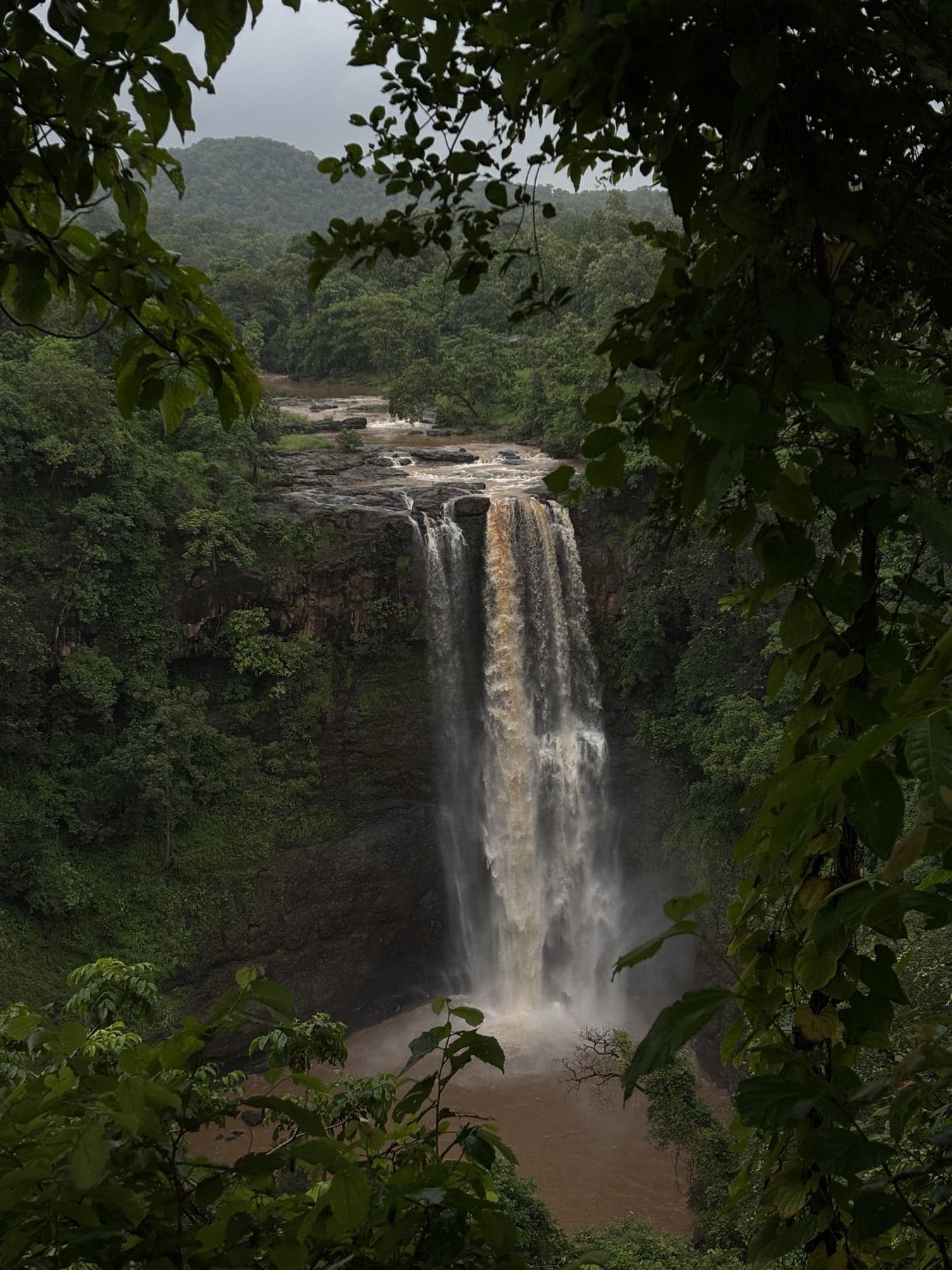
Chimer (Chichkund) Falls
Four cascades off a ~100 m escarpment on Dang's northern rim, locally claimed as Gujarat's tallest waterfall, and almost entirely unvisited.
Dev Van Waterfall
Reels call it 'Wonder Waterfall'. Dev Van's monsoon drop sits in the Subir forest belt, a short walk in from the Godadiya country roads.
Dhulda Waterfall
Dhulda rounds out the Subir belt's falls cluster, on the quiet side of the forest roads.
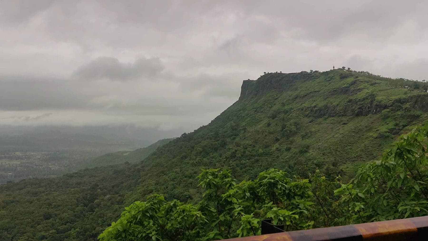
Don Hill Station
One of Gujarat's highest plateaus, with a quiet tribal village on top of it. Grass meadows, ridge walks and valley views, and none of Saputara's crowds.
Don Waterfall
Don village's own monsoon waterfall. A 1–2 km walk to a pool-bottomed drop, with changing rooms at the base and a genuinely rough approach road.
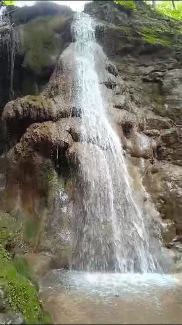
Gaumukh Waterfalls (Songadh)
Seasonal fall with a small Gaumukh temple, ~15 km from Songadh just over the Dang–Tapi line. Rugged approach, monsoon-only flow.
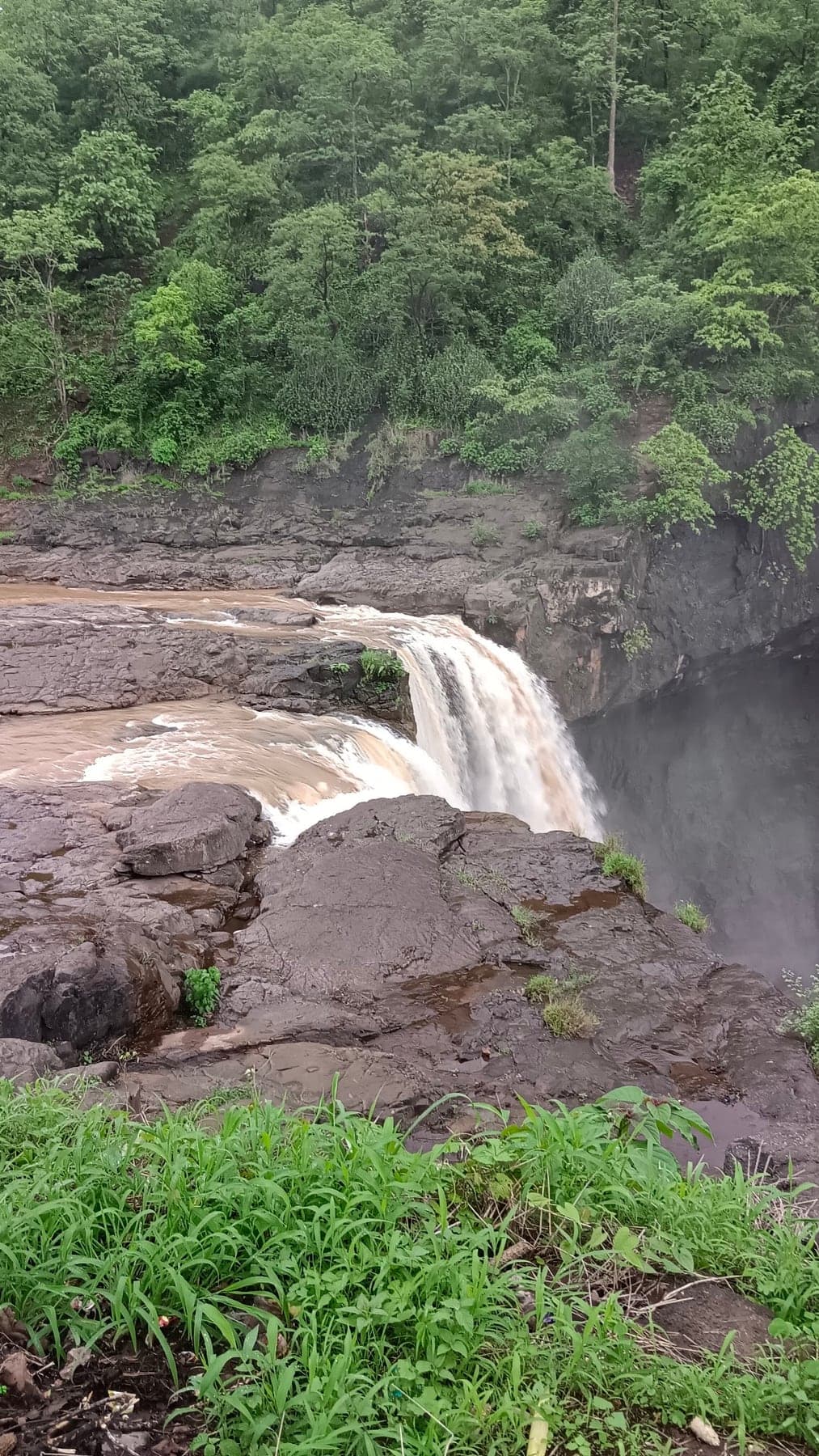
Girmal Falls
The waterfall Gira's crowds never see: Gujarat's tallest, a hard thirty-metre plunge deep enough into interior Dang to stay manageable in August.
Kadam Dungar
Eight hundred metres up off the Ahwa–Waghai road, one of Dang's high points and sacred to the Adivasi villages around it. Sunset runs the length of the belt.
Kaka-Kaki Waterfall
Three steps and 200-plus feet, in border forest near Gusrangam. Among south Gujarat's tallest falls, and its least visited.
Karanjwa Waterfall
Karanjwa, the falls the Mahal-campsite crowd calls 'Mahal waterfall', a monsoon drop in the Subir belt between the Girmal country and Bhalkhet.
Kunda Waterfall
Ahwa's own waterfall, six kilometres south. The town's quick monsoon fix.
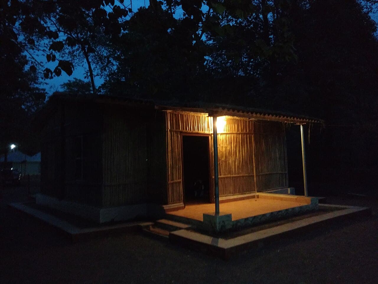
Mahal Eco Campsite
Forest-department cottages on the Purna river deep inside Purna sanctuary, the base for dawn walks, river mornings and real forest nights.
Maharaychond Forest
Shade, birdsong and spread-a-mat ground in the village country south of Ahwa, on the Wasurna side of the district.
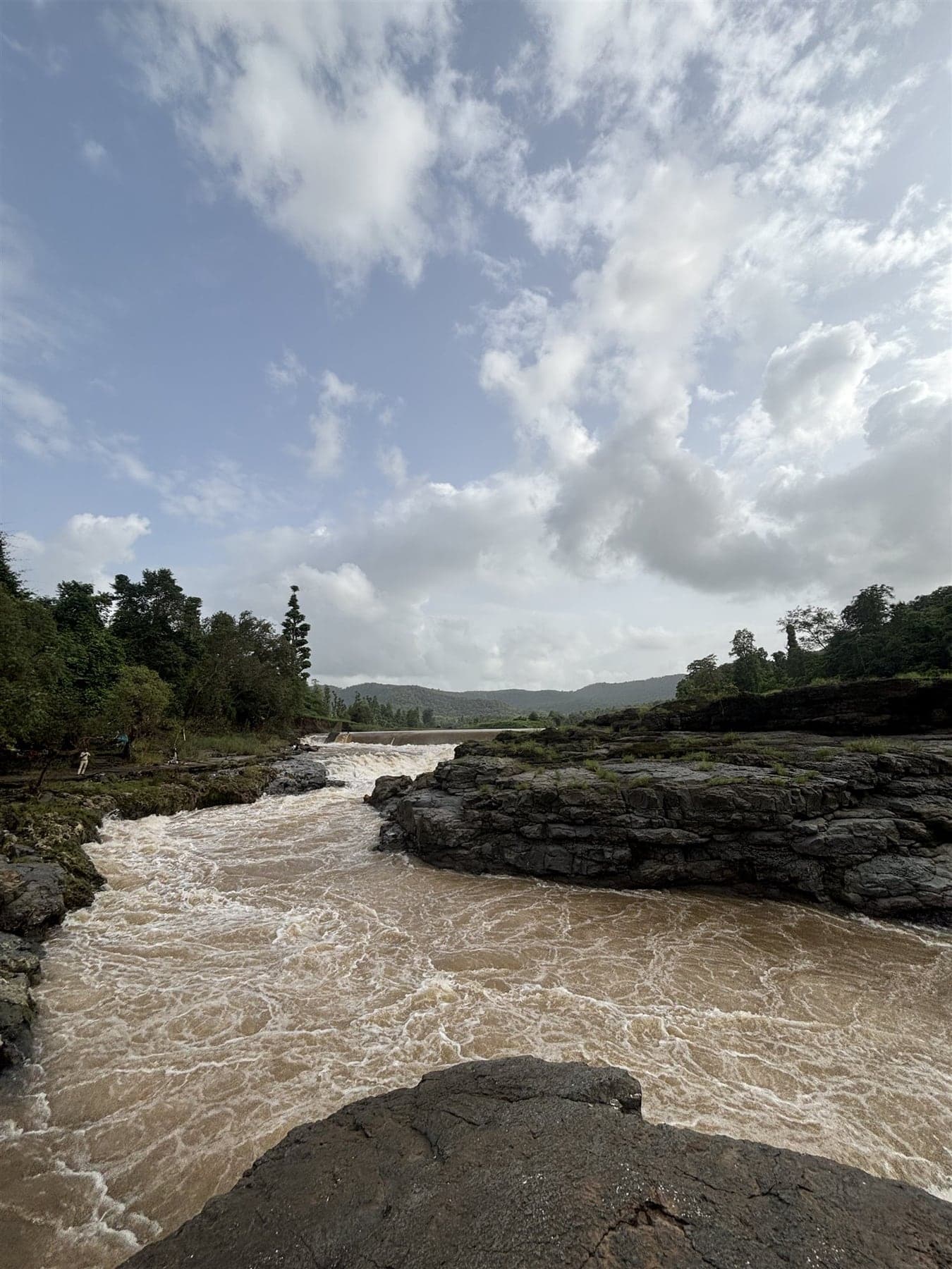
Mayadevi Temple
Quiet most of the year, and on its fair days a living centre of Dang's adivasi devotion. A Devi shrine on a broad rocky river in the north-west.
Medha Waterfall
Locals call it Gujarat's Dudhsagar. A multi-tiered cascade in the Songadh forests near Jamkhadi, free to enter, 15–20 minutes of jungle trek away.
Milan Waterfall
The Subir belt's third fall, between Bhalkhet and Dev Van. Undocumented until its map pin surfaced.
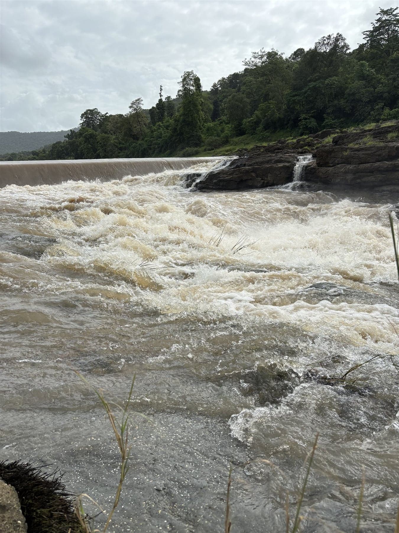
Pampa Sarovar
Forest-edged water, small shrines, almost no one. The sacred pond near Subir tied to the Shabari story.
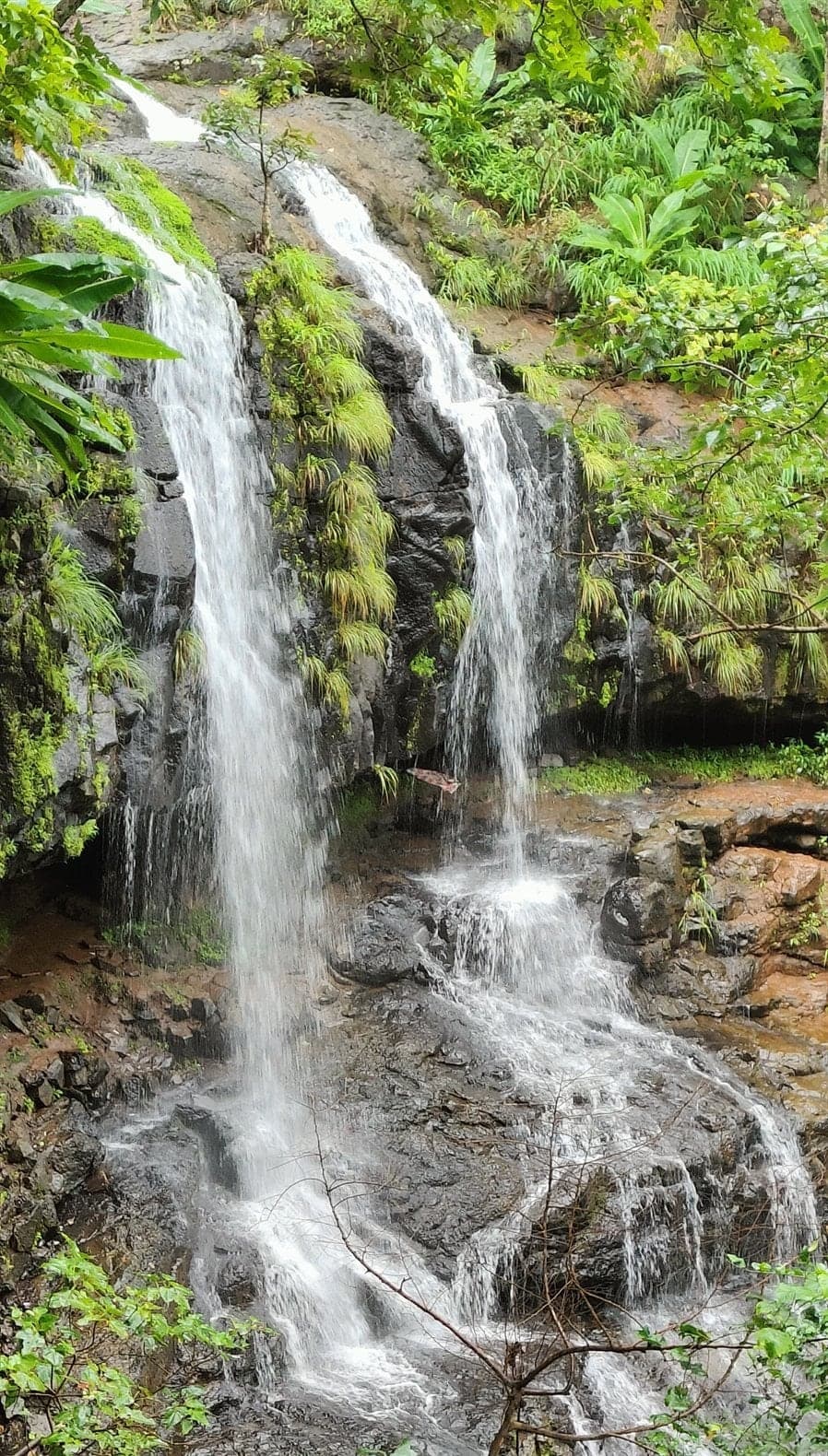
Pandav Caves & Waterfall
Pandava exile lore in a cave shrine, with a monsoon waterfall beside it. Reached by a rough 1.5–3 km trek from Javatla village off the Ahwa road.
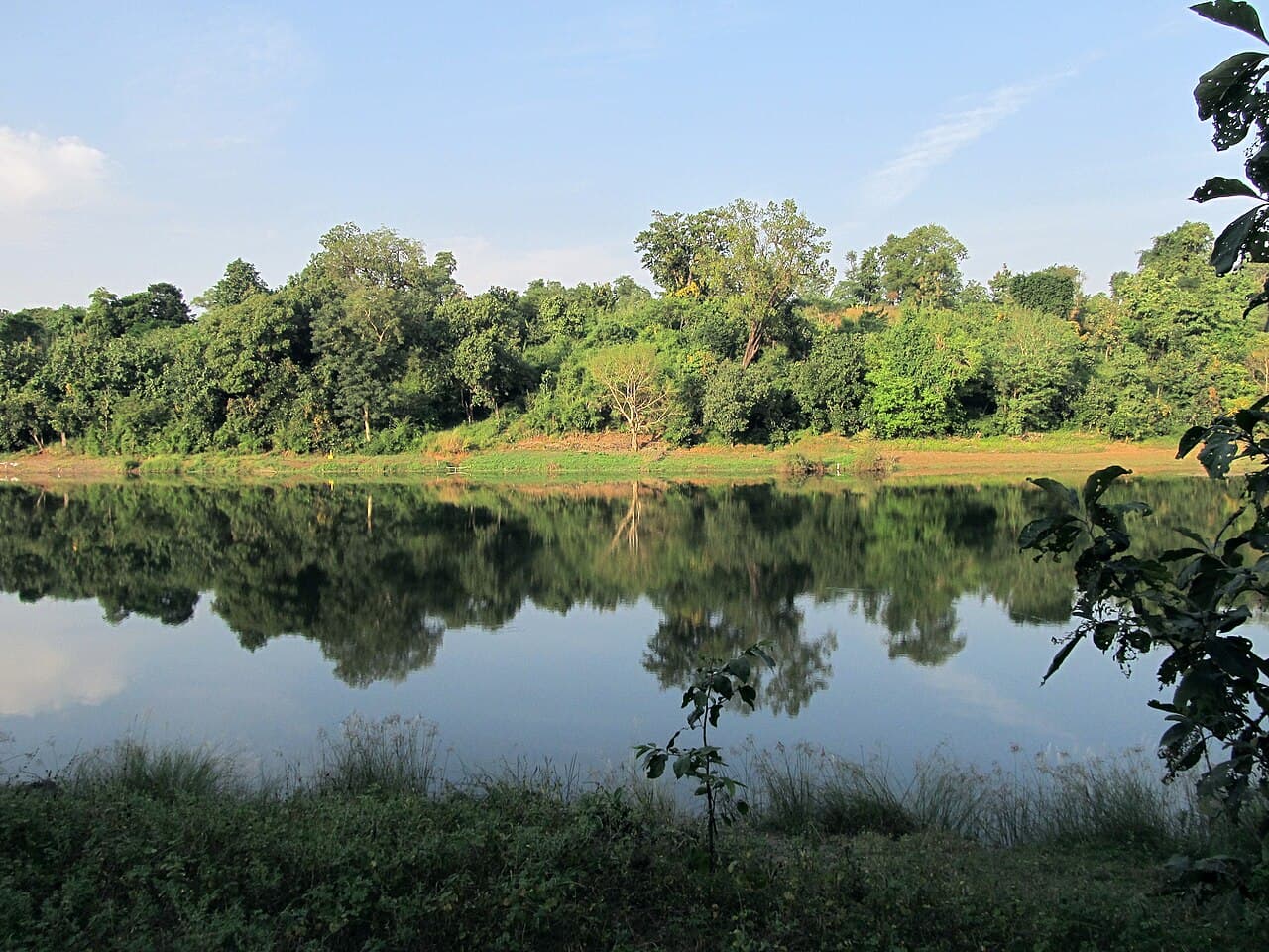
Purna Wildlife Sanctuary
By most measures the wettest, densest forest in Gujarat: teak, huge bamboo brakes and a closed canopy around the Purna river in northern Dang.
Raja Rani Waterfall
Twin jungle falls deep in Purna sanctuary. Raja and Rani drop within sight of each other, earned by a proper monsoon forest trek.
Ritu Waterfall
Chikhalda's sibling, a kilometre off. One more small monsoon drop on the same village outing.
Rupgadh Fort
Hilltop fort remains linked to Dang's Bhil kings. A forest trek to ramparts few tourists have ever heard of.
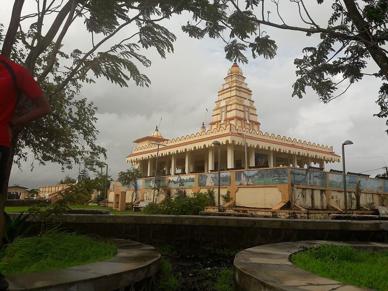
Shabari Dham
A low forested hill near Subir, where Dang's tradition places one of the Ramayana's best-loved episodes. The temple is modern. The association is the point.
Shivghat
Where road, river and a small temple meet on the Ahwa–Saputara run. A riverside Shiva shrine and bathing ghat, and a shady halt.
Songadh Fort
Gaekwad power started here, on the hill above Songadh town. Gate, ramparts and long Tapi-country views, up a short stepped climb from the bazaar.
Soul to Prakriti Waterfall
Two kilometres from Medha's cascades on the Dang–Tapi line. The border belt's quiet extra drop, name and all.
Svtis Waterfall
Between the Wasurna valley and the Chikhalda pocket. One more stop on the south-western loop.
Temburgartha Dam
Ten kilometres south of Ahwa, a small dam with evening water views, and a ridge beside it that doubles as the local sunset point and the local phone signal.
U Turn Eco Tourism Point
Above the Gira river's full hairpin bend on the Girmal approach, a forest-department deck. The interior drive's classic tea-and-view halt.
Valley of Wasurna
Green bowls, field terraces and forest ridges in the village country south of Ahwa, where almost nobody stops.
Getting around
What the roads are actually like, per place.
Season notes
For photographers
Where to sleep here
Routes through here
Also known as
Local and alternative spellings you may see on signs, in vlogs or on other maps: Anjani Kund · Anjani Parvat · Anjani Caves & Waterfall · Barda Dhodh · Bhalket Waterfall · Bhalkhet Dhodh · Bhambai Waterfall · Bhambi Waterfall · Bhambhi Dhodh · Birsa Dhodh · Chikhalda Dhodh · Chichkund Waterfall · Chimer Dhodh · Wonder Waterfall · Dev Van Dhodh · Dhulda Dhodh · Dhulda Water Fall · Don Village · Don Hills · Don Village Waterfall · Gaumukh Waterfall · Gomukh Dhodh Songadh · Girmal Waterfall · Girmal Dhodh · Kalam Dungar · Kadamdungar · Kaka Kaki Dhodh · Mahal Waterfall · Karanjwa Dhodh · Kunda Dhodh · Mahal Campsite · Mahal Forest Rest Area · Maharaychond Picnic Forest · Maya Devi Mandir · Medha Dhodh · Medha Waterfall Jamkhadi · Ekwa Golan Waterfalls · Milan Dhodh · Pampa Lake Subir · Pandav Gufa · Pandava Caves Javatla · Purna Sanctuary · Mahal Forest · Pandar Dhodh · Pandar Waterfall · Rajarani Waterfall · Ritu Dhodh · Roopgadh Fort · Shabaridham · Shabari Mata Temple Subir · Shiv Ghat · Songadh Killa · Song Garh · Fort Songadh · Prakriti Waterfall · Temburgartha Dam Site · Tembhurgatha Dam · U Point · Gira U-Turn Viewpoint · U Turn Point Girmal · Wasurna Valley.