106 documented places across Dang and Narmada, search anything, or filter by district, kind and mood.
Vangan's neighbour fall on the Dang–Navsari line. Advait drops a kilometre from the Ankada Dhodh, doubling the Vansda-side outing.
Anjani hill is held locally as Hanuman's birthplace. A short trek up to the forest kund and cave, and one of the anchor points of Dang's Ramayana geography.
Medicinal plants near the Statue of Unity: Ayurvedic plots, yoga spaces and calm landscaped walks on a wellness theme.
The artists make it, teach it and sell it themselves: Warli painting and bamboo work at a working craft centre outside Saputara.
Baaj village's falls and ridge-top view point on the Waghai side. A fall, a vista and, close by, the Koshmal forest country in one stop.
Interior Dang's least documented monsoon fall, near Barda village. For completists willing to ask directions and accept a rough approach.
Two easy kilometres from Barkhadi's school, through fields and stream crossings, to a monsoon waterfall south-east of Rajpipla.
West of the Girmal belt, in the Godadiya village country of Subir taluka. A monsoon fall the local crowd treks to.
Out past Ahwa in Dang's far east, hard by the Maharashtra border. A trekkers' find, and the vlogs rate it among the district's prettiest.
Reels-famous and almost nothing else. Birsa exists as a map pin, monsoon videos and word of mouth, on the forest road between Ahwa and Don.
Host-plant gardens alive with free-flying butterflies near the Statue of Unity, best in the first sunny hours of the morning.
Hundreds of cactus and succulent species under domes and over dunes near the Statue of Unity. Oddly photogenic, and genuinely educational.
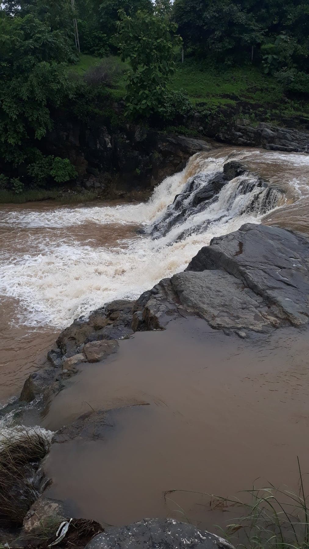
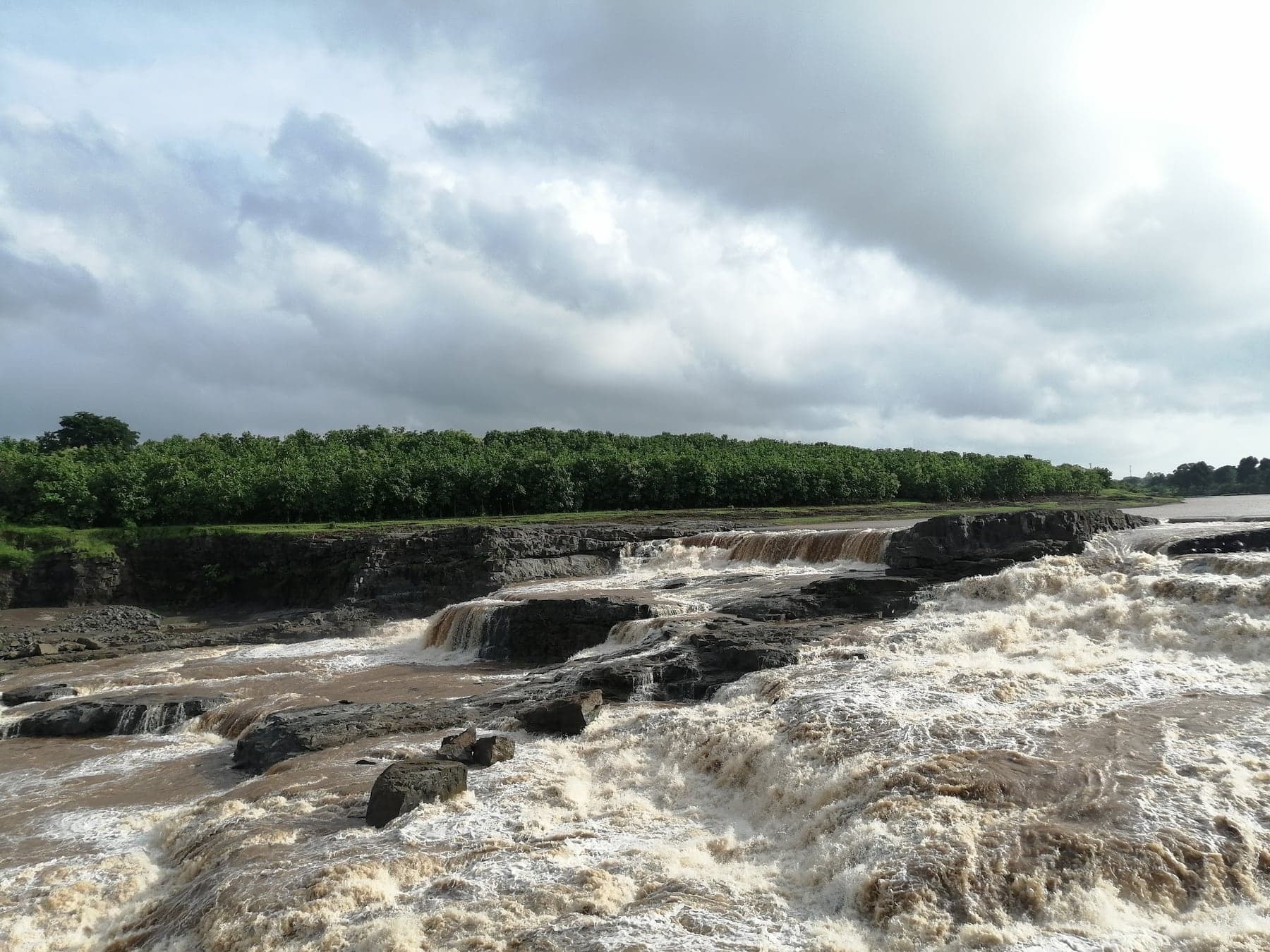
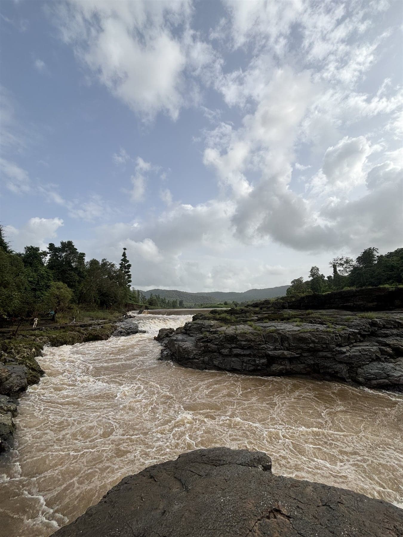
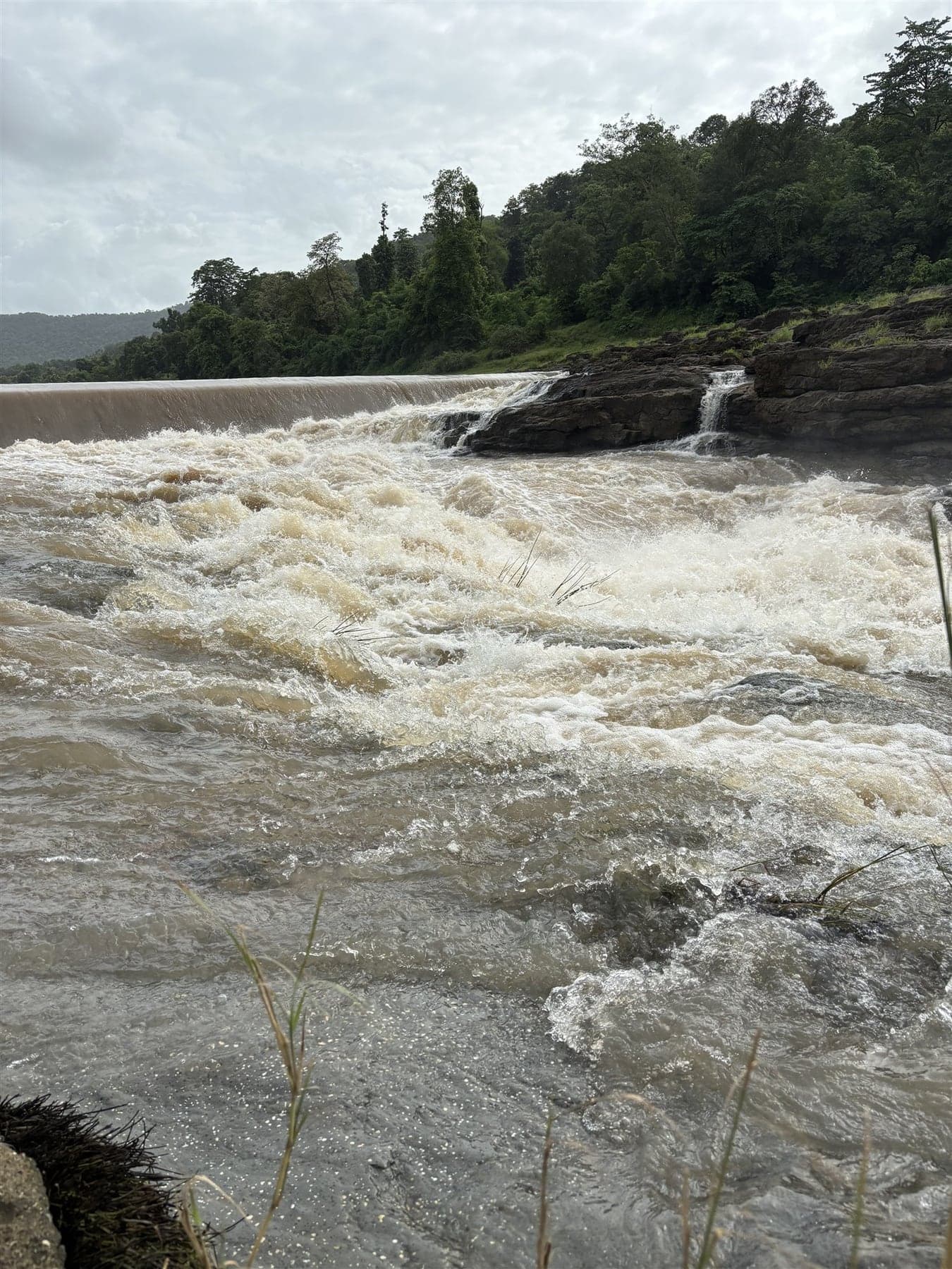
Broad, low, and at its best in monsoon spate by Chhatwada village. Quiet company for Kesharva falls in the belt west of Rajpipla.
Chikhalda drops by its own village, anchor of Dang's south-western pocket, with the Vadla ni vadi banyan grove beside the approach.
Food and nutrition taught through themed stations and led by a toy train, squarely aimed at the under-12s.
Four cascades off a ~100 m escarpment on Dang's northern rim, locally claimed as Gujarat's tallest waterfall, and almost entirely unvisited.
Chirai drops in forest toward the Vansda border: the far corner of the Waghai-side falls country, and the loop's last and loneliest stop.
Reels call it 'Wonder Waterfall'. Dev Van's monsoon drop sits in the Subir forest belt, a short walk in from the Godadiya country roads.
The spiritual centre of gravity for the Vasava, Bhil and Tadvi communities: Yaha Mogi's shrine near Sagbara, whose annual fair draws lakhs.
Vlogged as Rajpipla's hill station: green hill country above Barkhadi village, with a trek to ridgetop views, a small Shiv shrine and a monsoon waterfall.
Dhulda rounds out the Subir belt's falls cluster, on the quiet side of the forest roads.
Life-size dinosaur models headlined by a towering Rajasaurus, on a short walk with a real Narmada-valley fossil hook behind it.
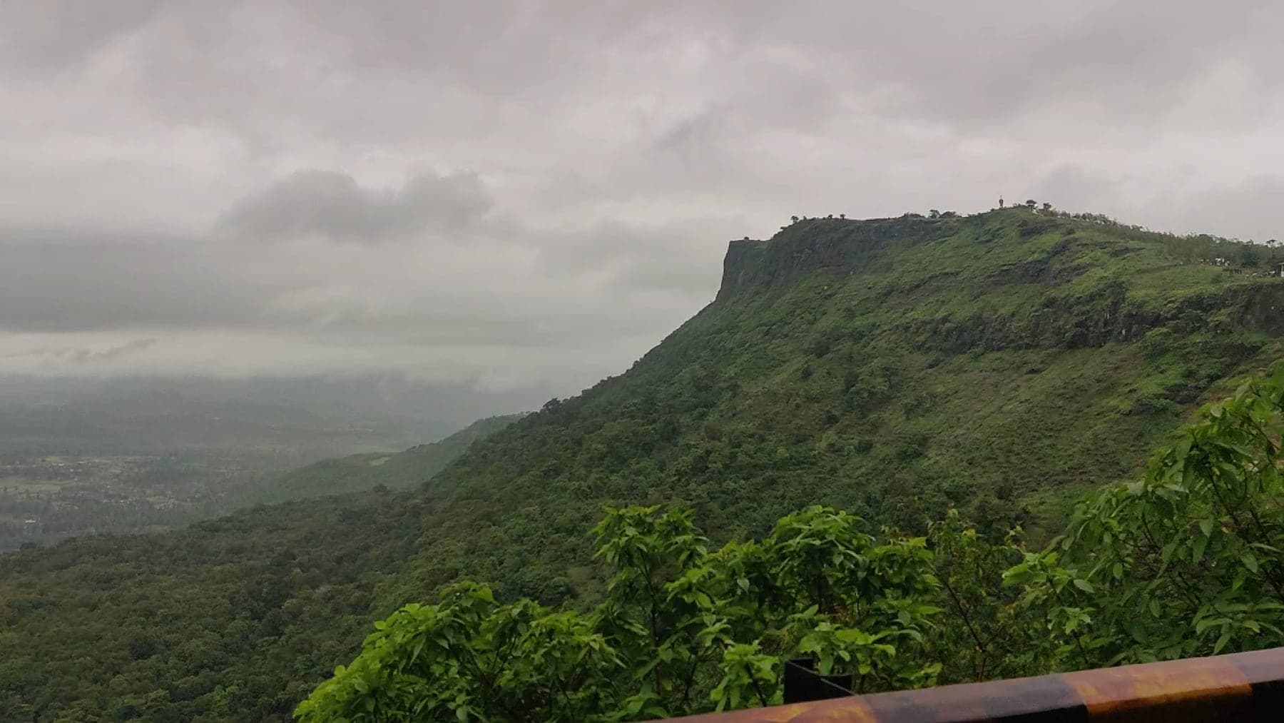
One of Gujarat's highest plateaus, with a quiet tribal village on top of it. Grass meadows, ridge walks and valley views, and none of Saputara's crowds.
Don village's own monsoon waterfall. A 1–2 km walk to a pool-bottomed drop, with changing rooms at the base and a genuinely rough approach road.
Facing cliffs bounce a clean echo off Saputara's rim road. Five minutes, and kids refuse to leave.
The Statue of Unity grows off the bow as you go. A calm Narmada boat ride, and the water-level angle no viewpoint on land can give.
Handicrafts and handlooms from across India, under one roof.
Greenhouses, bonsai and cactus sections at a large production nursery with a visitor face, where the plants are ones you can buy and carry home.
Riverside samadhi of Vasudevanand Saraswati, a Dattatreya pilgrimage minutes from Ekta Nagar.
Seasonal fall with a small Gaumukh temple, ~15 km from Songadh just over the Dang–Tapi line. Rugged approach, monsoon-only flow.
Broad cascades at Ghanikhut village near Netrang. Drive almost to the water, which makes it the belt's easiest family waterfall.
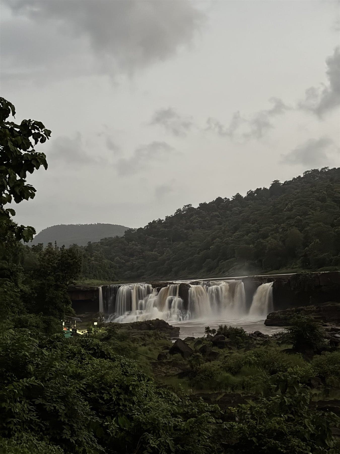
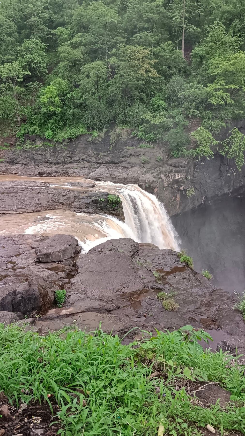
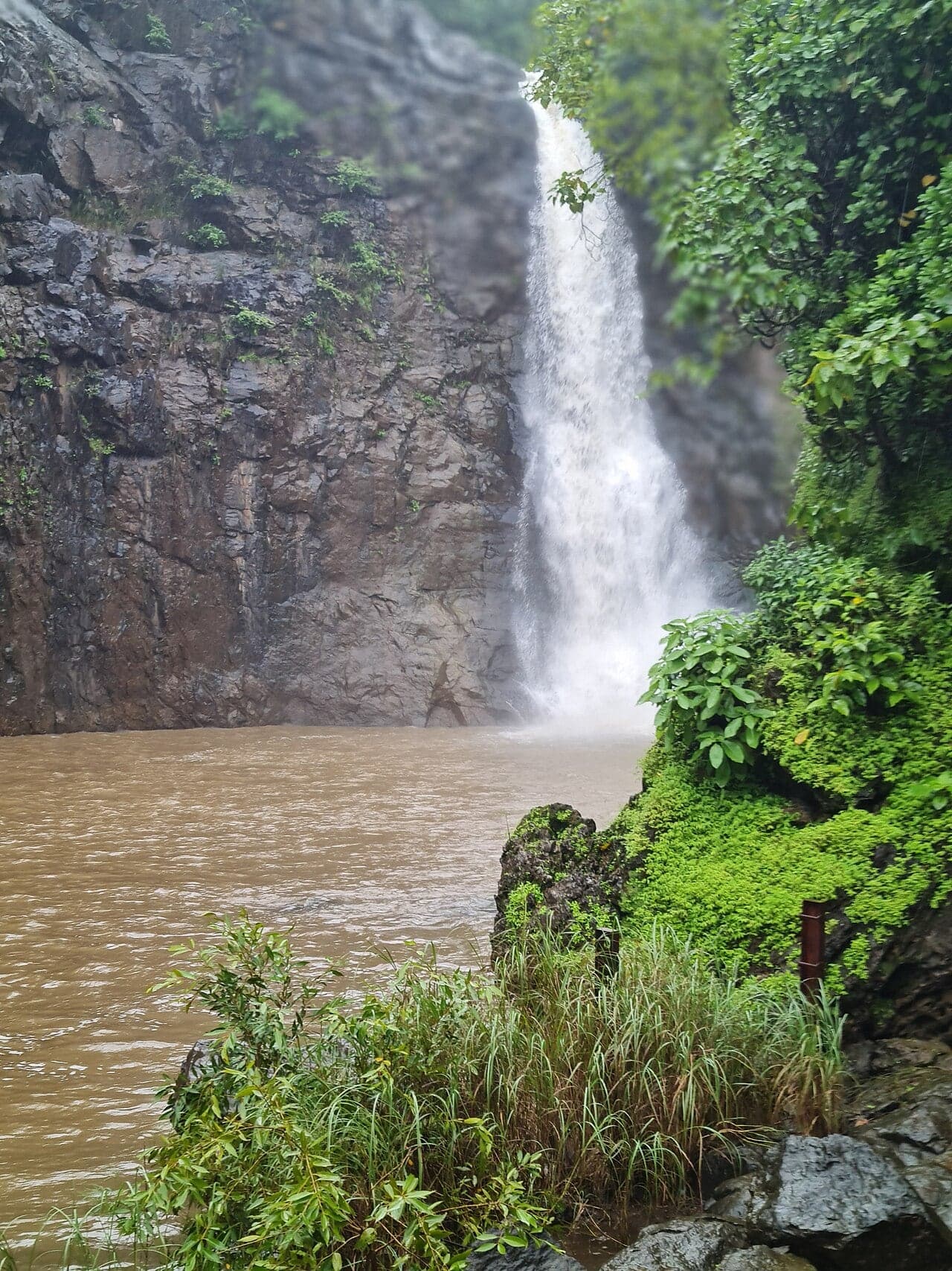
The waterfall most Gujarat travellers meet first. Barely off the Waghai–Saputara road, and in full monsoon a broad, genuinely loud 23 m curtain.
The waterfall Gira's crowds never see: Gujarat's tallest, a hard thirty-metre plunge deep enough into interior Dang to stay manageable in August.
Walking paths and quiet town-and-valley views on a wooded knoll above Saputara, for anyone who wants the view without the crowd standing in it.
Rajpipla's town goddess. Busiest and brightest through Navratri.
Saputara's fort fix, a few kilometres into Maharashtra: gate fragments, rock-cut cisterns and rampart lines tracing a flat-topped summit.
Hive demonstrations, bee lore and forest honey to take home. Check it's operating first.
Ten sacred groves, a tribal hut and tens of thousands of trees at Bhinar near Unai, on ground where Sita is said to have stayed.
Remote cascade on a Karjan-reservoir stream near Pratap Nagar. The Rajpipla belt's own pinch-in waterfall, and a natural pairing with Mandan Lake.
Rajpipla's original capital stood on this hill. Scattered ruins in forested country south of the modern town, for history-minded explorers.
Native and exotic animals across terraced hillside levels near the Statue of Unity, plus walk-in aviaries kids love.
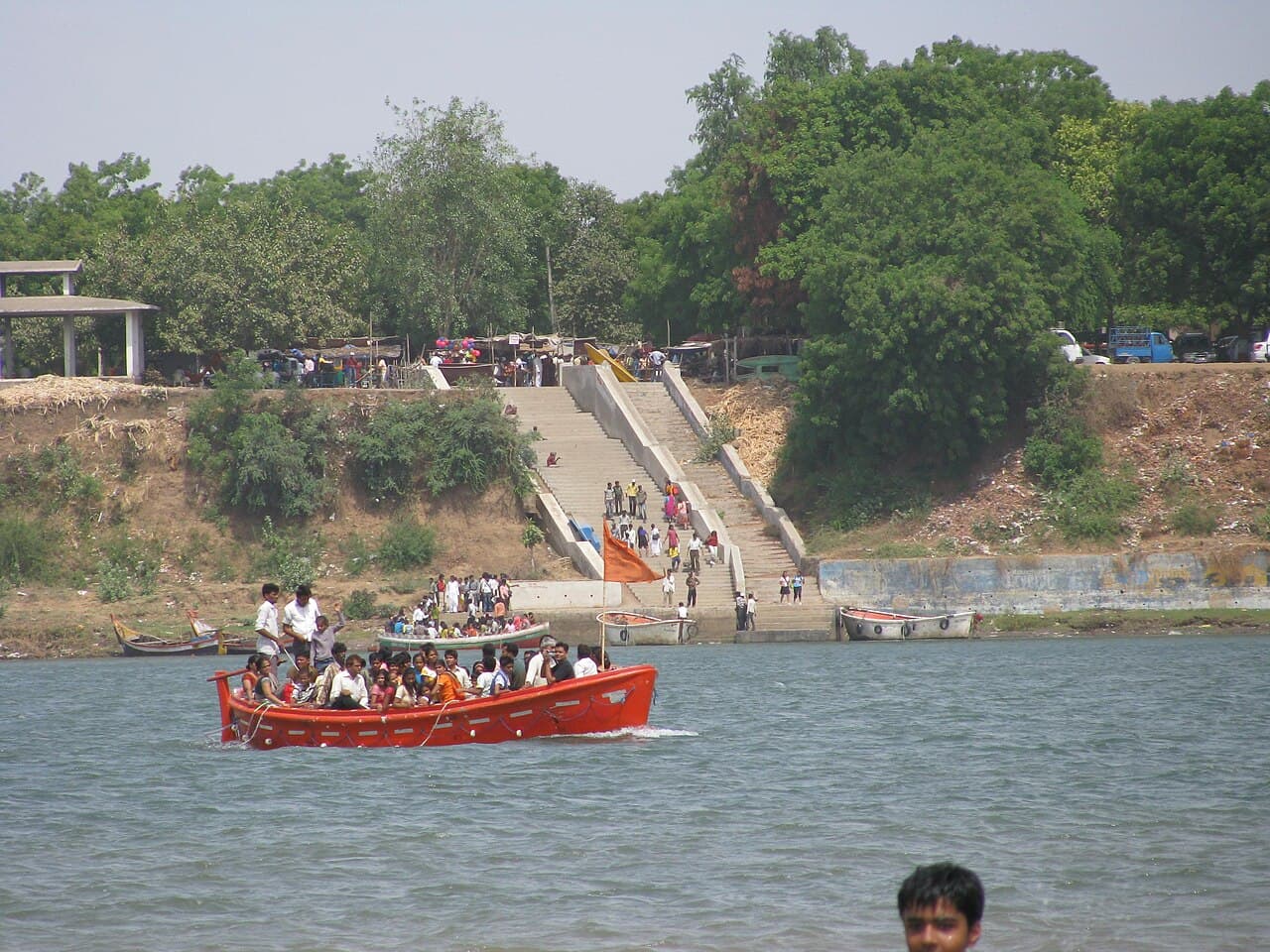
One colossal banyan covers an entire island in the Narmada, linked to sant Kabir and reached by a short boat crossing. Nothing else in Gujarat is like it.
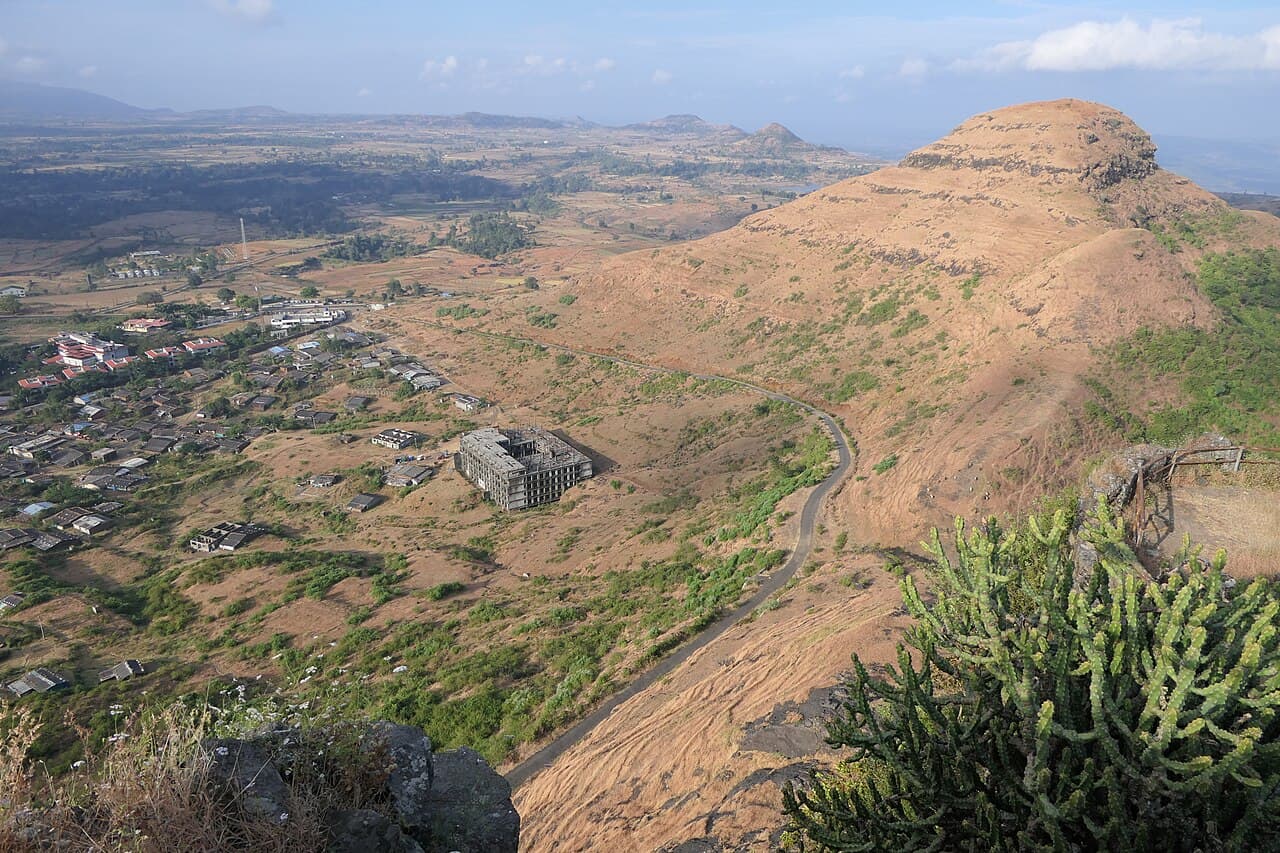
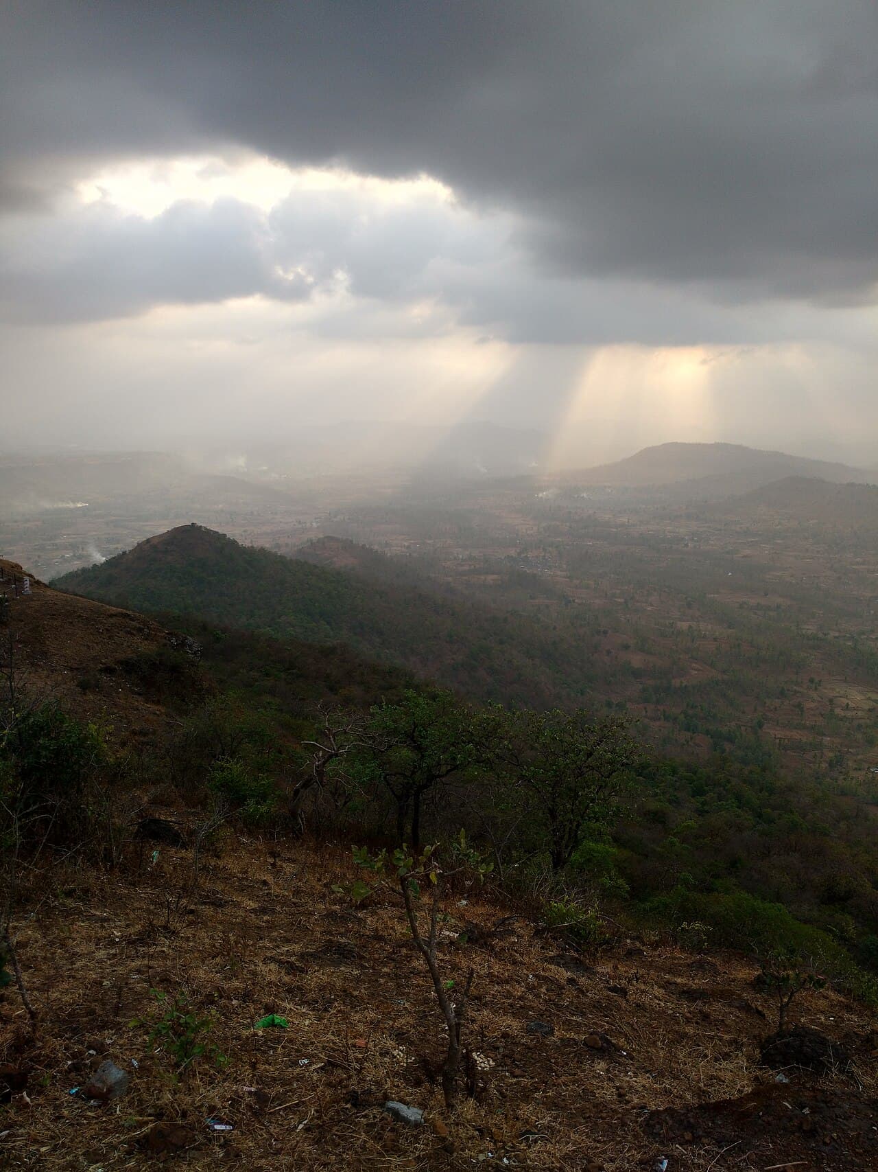
Eight hundred metres up off the Ahwa–Waghai road, one of Dang's high points and sacred to the Adivasi villages around it. Sunset runs the length of the belt.
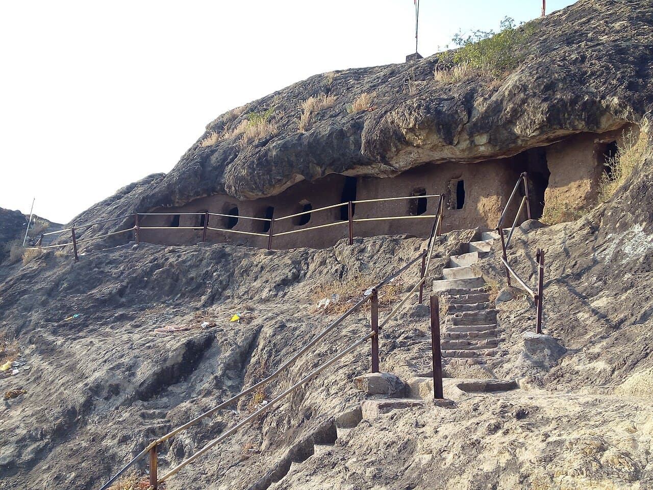
South Gujarat's oldest cave group: seven Buddhist caves cut near Zazpor in the 1st–2nd century AD, monolithic lion pillars, and a stiff climb up.
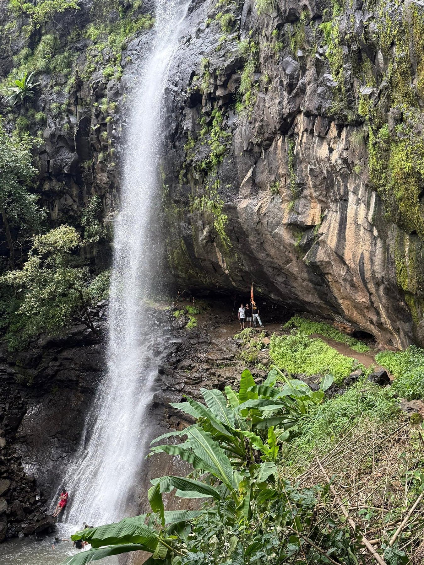
Three steps and 200-plus feet, in border forest near Gusrangam. Among south Gujarat's tallest falls, and its least visited.
Karanjwa, the falls the Mahal-campsite crowd calls 'Mahal waterfall', a monsoon drop in the Subir belt between the Girmal country and Bhalkhet.
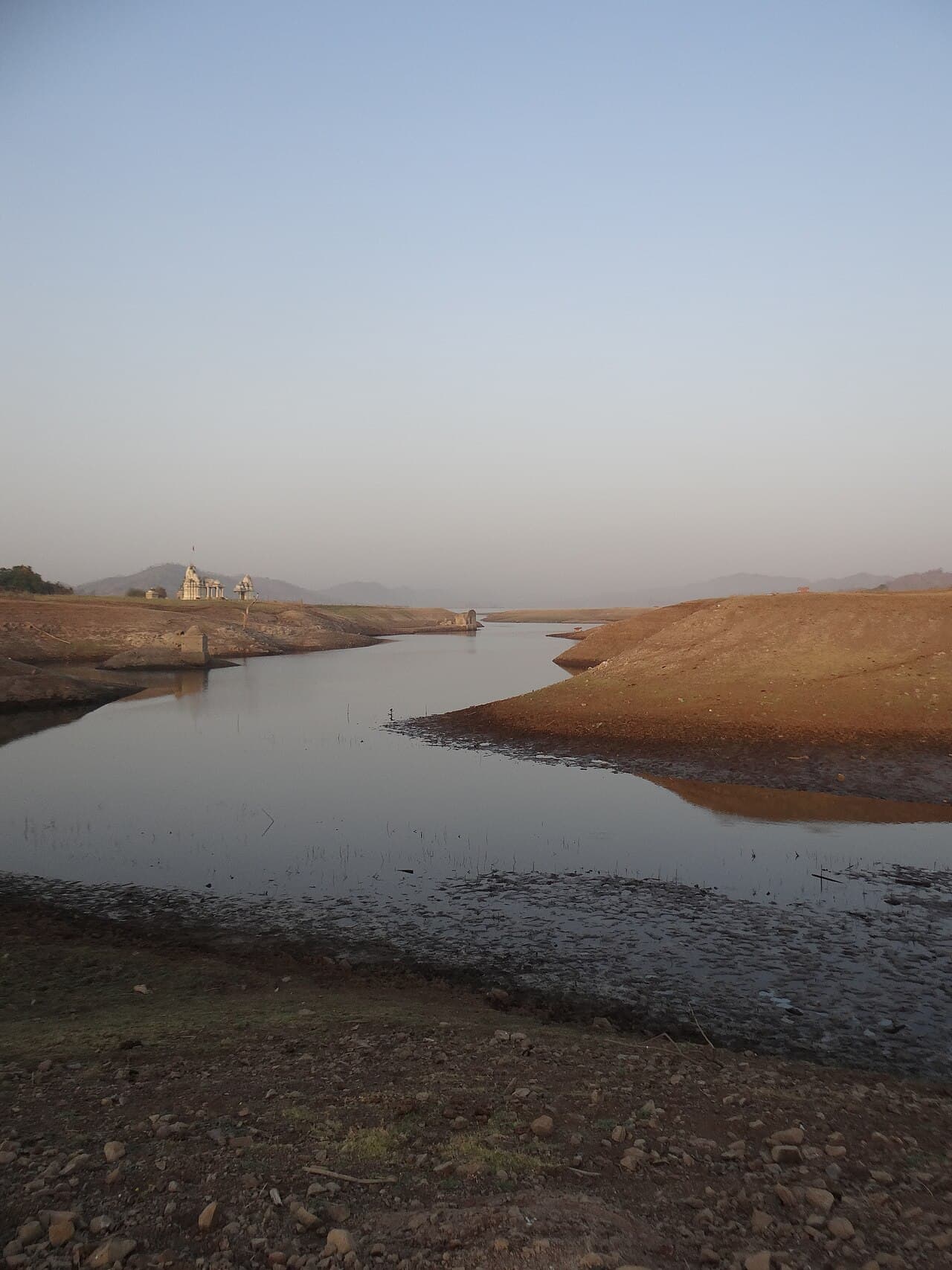
Sunset water views and picnic spots on a quiet reservoir in the hills south-east of Rajpipla. Public access rules are worth checking first.
Falls you can actually get into, a kilometre's walk through black-soil fields from Kesharva village west of Rajpipla.
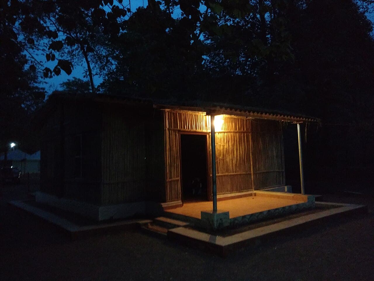
Forest-department campsite on the Ambika river near Waghai, riverside cottages, nature trails and an easy first taste of Dang's forests.
Waghai's secret, and a serious one: a forceful monsoon fall past Dungarda village, where a local guide is essential and the forest department posts warnings.
Ahwa's own waterfall, six kilometres south. The town's quick monsoon fix.
Lawns, play corners and shaded benches right on Saputara Lake's shore.
Forest-department cottages on the Purna river deep inside Purna sanctuary, the base for dawn walks, river mornings and real forest nights.
Shade, birdsong and spread-a-mat ground in the village country south of Ahwa, on the Wasurna side of the district.
Karjan reservoir at its most scenic: hill-ringed water off Mandan village, 16 km from Rajpipla, with cheap boat rides and roasted-corn stalls.
Quiet most of the year, and on its fair days a living centre of Dang's adivasi devotion. A Devi shrine on a broad rocky river in the north-west.
Half puzzle, half photo op. A large hedge maze laid out in a yantra pattern near the Statue of Unity, best fun with kids in tow.
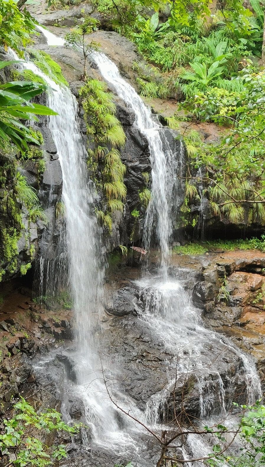
Locals call it Gujarat's Dudhsagar. A multi-tiered cascade in the Songadh forests near Jamkhadi, free to enter, 15–20 minutes of jungle trek away.
The Subir belt's third fall, between Bhalkhet and Dev Van. Undocumented until its map pin surfaced.
More idea than attraction: the Japanese dense-planting method demonstrated as a fast-grown native mini-forest with walkways.
Lakeside Shiva temple in Saputara's serpent-worship roots. Small, active, busiest in Shravan.
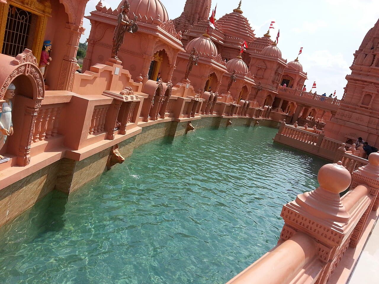
Ornate shrines, ghats, themed displays and evening lighting across a vast Swaminarayan temple-and-exhibition complex on the Narmada bank at Poicha.
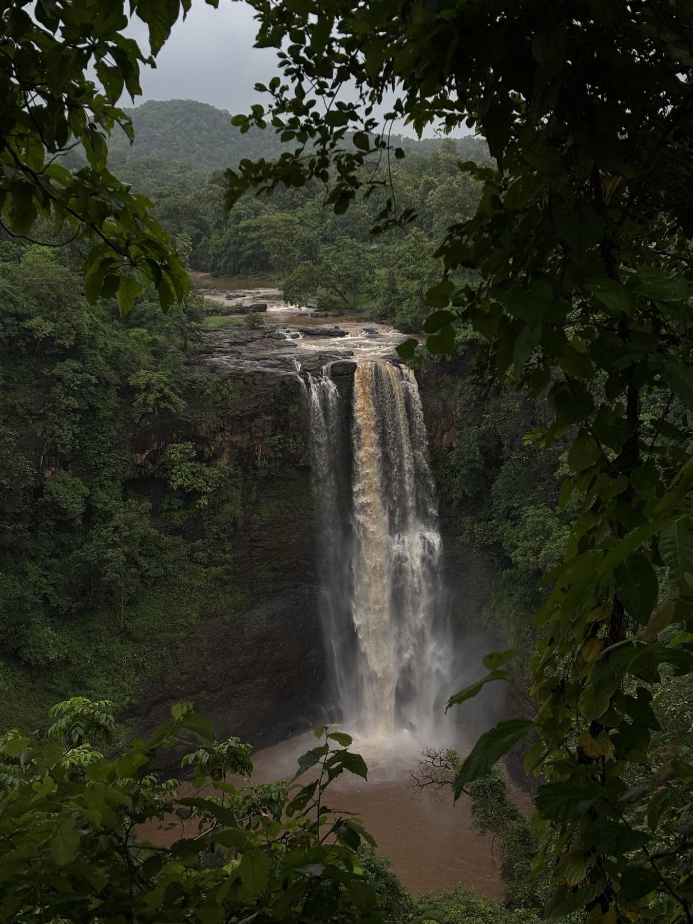
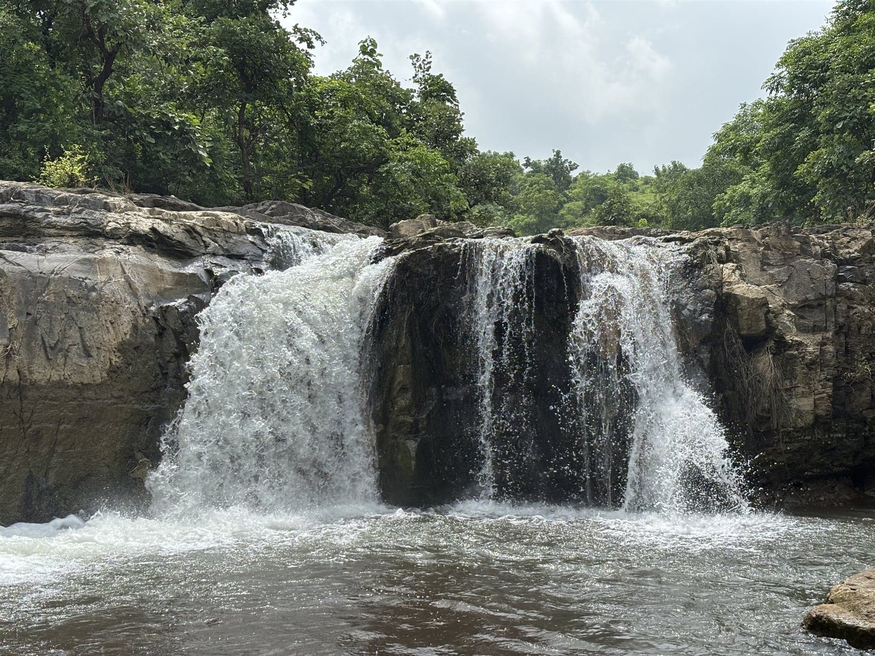
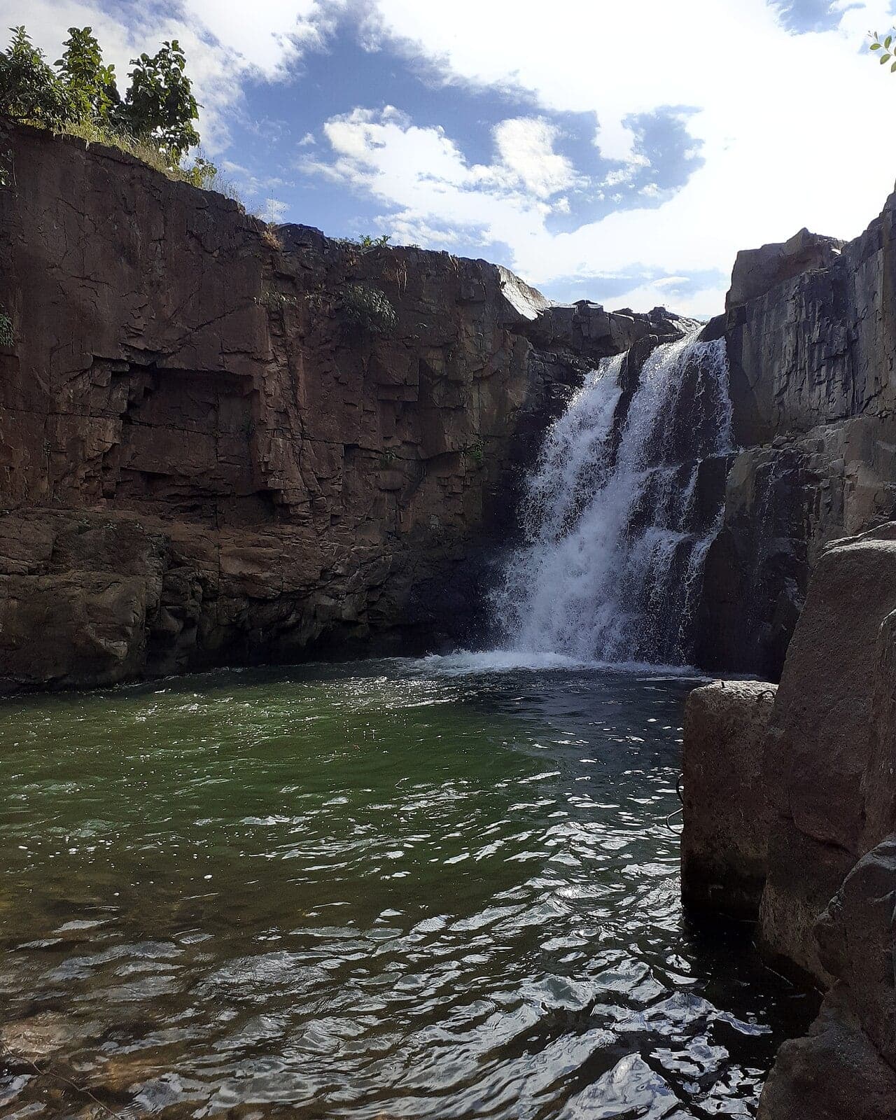
Compact and forceful, in forested country ~35 km from Dediapada. Eastern Narmada's favourite rainy-season outing.
Forest-department campsite on the Ambika river in the hills near Vyara, riverside cottages and trails that pair with the Waghai belt.
Forest-edged water, small shrines, almost no one. The sacred pond near Subir tied to the Shabari story.
Pandava exile lore in a cave shrine, with a monsoon waterfall beside it. Reached by a rough 1.5–3 km trek from Javatla village off the Ahwa road.
'The last hill of Gujarat' at Chorvani near Vansda, a monsoon-green dungar with the Pindhara Dev shrine, loved by trekkers and off-roaders alike.
By most measures the wettest, densest forest in Gujarat: teak, huge bamboo brakes and a closed canopy around the Purna river in northern Dang.
Ten scenic minutes each way, lake side to the Sunset Point ridge.
Twin jungle falls deep in Purna sanctuary. Raja and Rani drop within sight of each other, earned by a proper monsoon forest trek.
Clock tower, gates, palace facades and bazaar streets that remember a capital. Rajpipla's princely leftovers, wandered at your own pace.
Rajpipla's royal showpiece: an early-twentieth-century palace in European classical style, domes and colonnaded verandahs above the Karjan low country.
Chikhalda's sibling, a kilometre off. One more small monsoon drop on the same village outing.
White-water rafting on a dam-fed stretch of the Narmada near Ekta Nagar. A guided run through forested gorge with beginner-friendly rapids.
Modest rose beds near Saputara's lakefront, at their fragrant best on cool winter mornings.
Hilltop fort remains linked to Dang's Bhil kings. A forest trek to ramparts few tourists have ever heard of.
Forest campsite and hilltop plateau in the Dediapada belt, eastern Narmada's 'mini hill station' with cottages, trails and monsoon views.
Operator-run adventure activities on Governor's Hill: ziplines, rope courses and ATVs, seasonal and variable, so confirm before promising the kids.
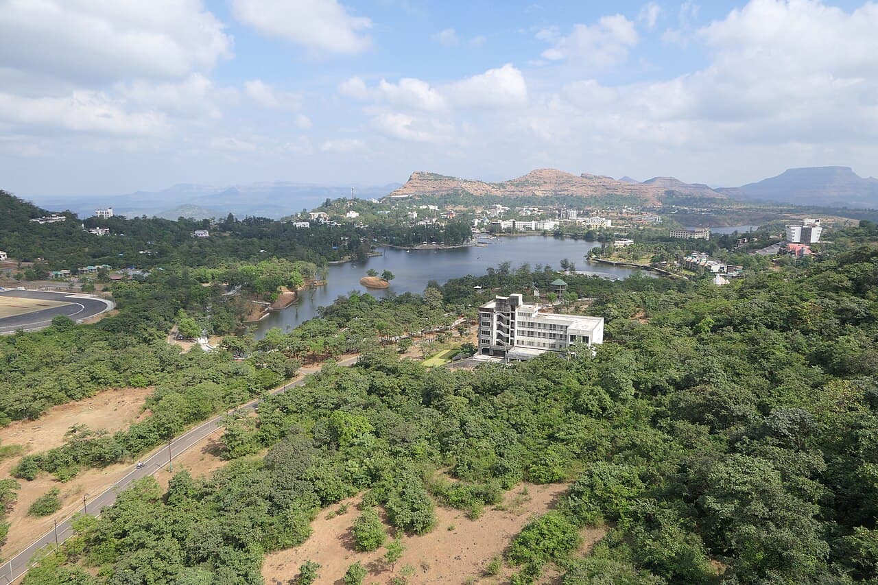
The heart of Gujarat's only hill station, ringed by gardens, snack stalls and low wooded hills. Quiet enough to walk at dawn, busiest at dusk.
Compact museum of Dangi life, masks, instruments, house models and household tools that decode the villages you drive past in Dang.
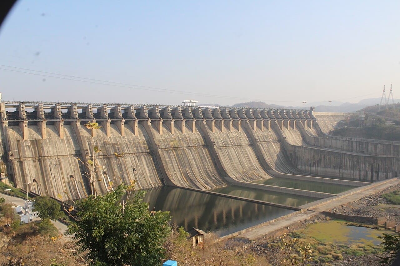
The reason Ekta Nagar exists: the long concrete wall across the Narmada, the reservoir stretching upstream, and the gates open in a good monsoon.
A low forested hill near Subir, where Dang's tradition places one of the Ramayana's best-loved episodes. The temple is modern. The association is the point.
Where road, river and a small temple meet on the Ahwa–Saputara run. A riverside Shiva shrine and bathing ghat, and a shady halt.
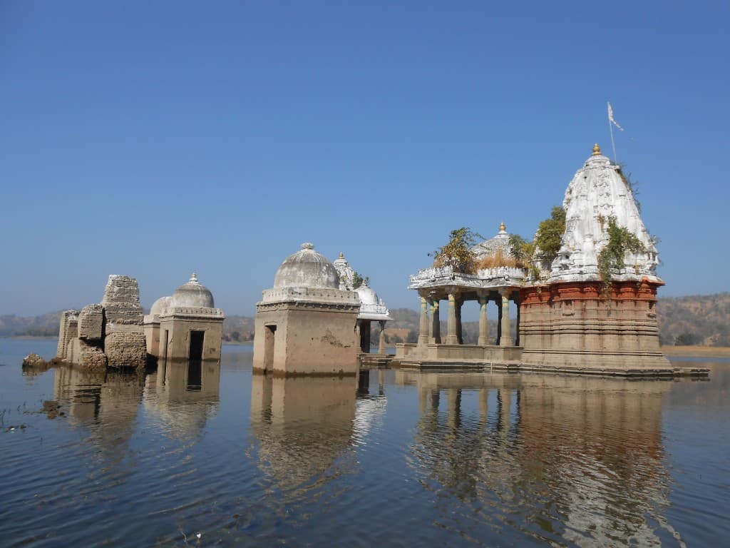
Submerged by the Sardar Sarovar reservoir and re-established at Gora. Riverside darshan, with deep Narmada lore behind it.
Six hundred square kilometres of moist forest and bamboo climbing from the Narmada's south bank into the Satpura edges. Sloth bear country.
Gaekwad power started here, on the hill above Songadh town. Gate, ramparts and long Tapi-country views, up a short stepped climb from the bazaar.
Nightly laser projection and sound show that turns the Statue of Unity into a canvas for Sardar Patel's story, the campus's evening set piece.
Two kilometres from Medha's cascades on the Dang–Tapi line. The border belt's quiet extra drop, name and all.
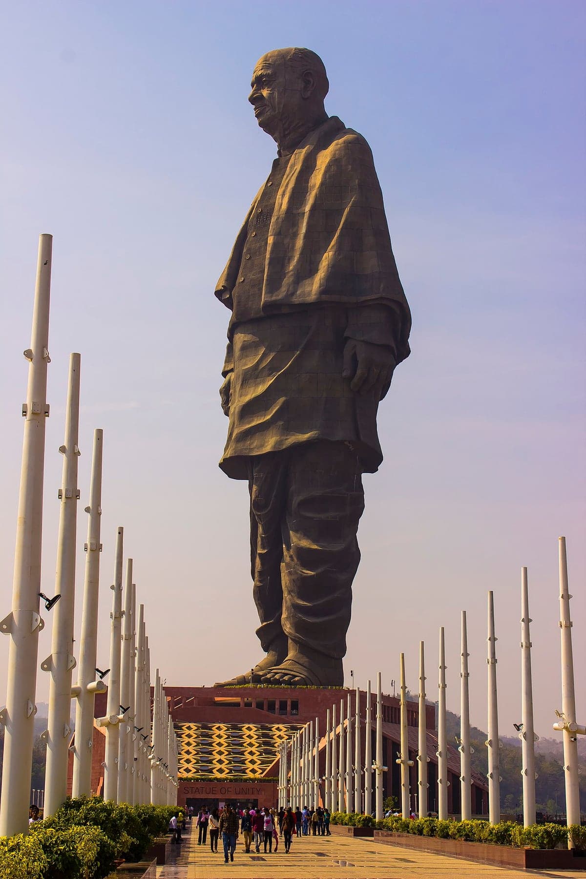
World's tallest statue: 182 metres of Sardar Patel facing the Sardar Sarovar dam, with a 153 m viewing gallery, a museum and a full day of campus around it.
Planted steps and shaded corners on a Saputara hillside. An easy family hour.
The quiet counterpart to Sunset Point. East-facing, and the valley fills with dawn mist.
Saputara's classic evening ritual, a west-facing ridge reached by ropeway or a stepped climb, with layered Sahyadri views at dusk.
Between the Wasurna valley and the Chikhalda pocket. One more stop on the south-western loop.
Flat hilltop meadow on Saputara's rim: wide valley views, pony rides, snack stalls. The easiest family stop in town.
Ten kilometres south of Ahwa, a small dam with evening water views, and a ridge beside it that doubles as the local sunset point and the local phone signal.
Saputara's rooftops, lake and plateau bowl from a roadside rise. The postcard shot, in one stop.
Above the Gira river's full hairpin bend on the Girmal approach, a forest-department deck. The interior drive's classic tea-and-view halt.
Rama's arrow raised the boiling kund, in the telling, and pilgrims have bathed in it ever since. Ushnamba Mata's hot-spring temple at Unai.
Illuminated sculptures, light tunnels and glowing installations after dark. The SoU campus's designated evening hour.
Riverside flower gardens along the Narmada below the Statue of Unity, curated beds, lawns and photo spots best in the cool months.
Green bowls, field terraces and forest ridges in the village country south of Ahwa, where almost nobody stops.
Ankada Dhodh, at Vangan village near Vansda. A vlog-discovered border fall, with the Gandavle hill viewpoint above the same village.
Giant squirrels, pythons, leopards and butterflies in barely 24 km² of dense old forest on Waghai's doorstep.
Trees and herbs from the continents, planted around symbolic global themes. One of the campus's quieter green tickets.
Labelled native trees, bamboo groves and shaded walks across a large forest-department campus at the foot of the Dang hills.
Rocky gorge, shallow pools and a proper jungle feel inside Shoolpaneshwar sanctuary, 30 minutes from Ekta Nagar.